Region sheet · 14 countries14.0°S 162.0°E
Oceania
The 14 countries of Oceania: map, capitals, population and area
Oceania has 14 of the 195 countries in this atlas, in 4 subregions: Micronesia (5), Melanesia (4), Polynesia (3) and Australia and New Zealand (2). Together they cover 8,490,477 km².
The largest by area is Australia (7,692,024 km²) and the smallest is Nauru (21 km²). Australia has the most people, 27.6 million in 2025; Tuvalu has the fewest with World Bank data, 9,492.
Of the 14, 12 are island countries with no land border.
All 14 countries A–Z
| Flag | CountryCapital | Population | Area km² |
|---|---|---|---|
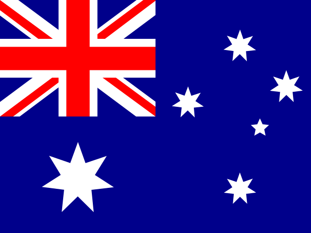 | AustraliaCanberra | 27,614,4112025 | 7,692,024 |
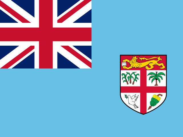 | FijiSuva | 933,1542025 | 18,272 |
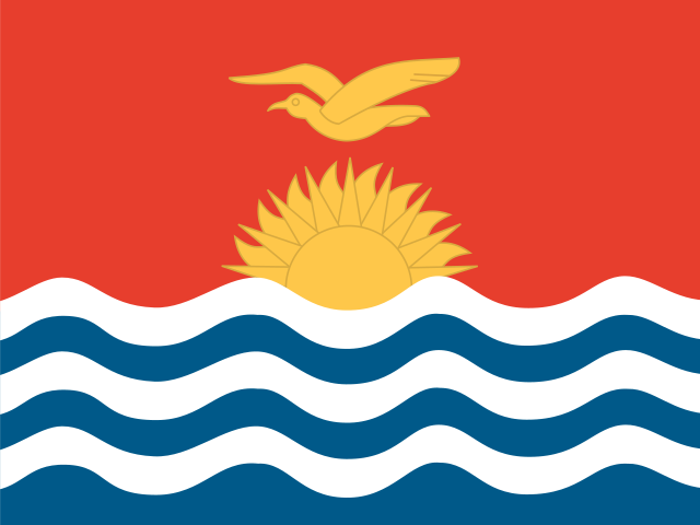 | KiribatiSouth Tarawa | 136,4882025 | 811 |
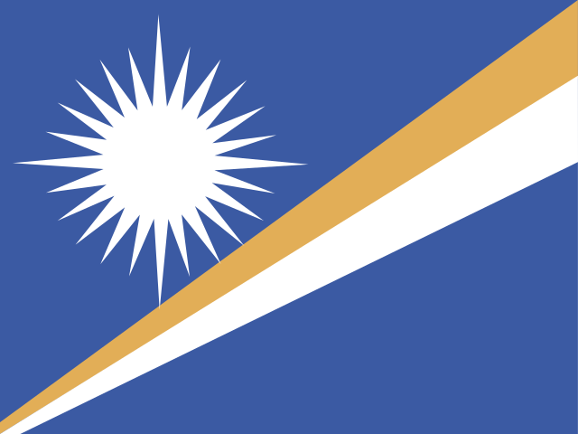 | Marshall IslandsMajuro | 36,2822025 | 181 |
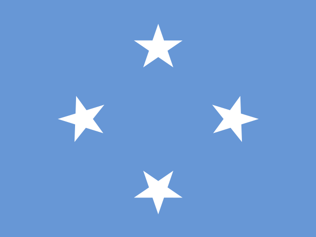 | MicronesiaPalikir | 113,6832025 | 702 |
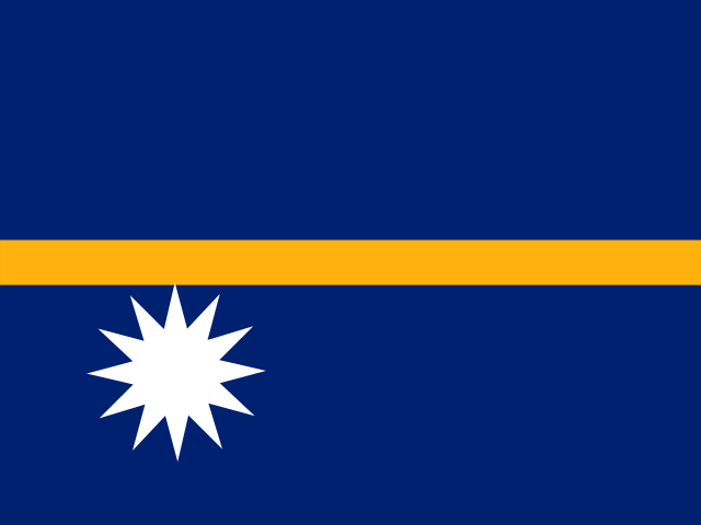 | NauruYaren | 12,0252025 | 21 |
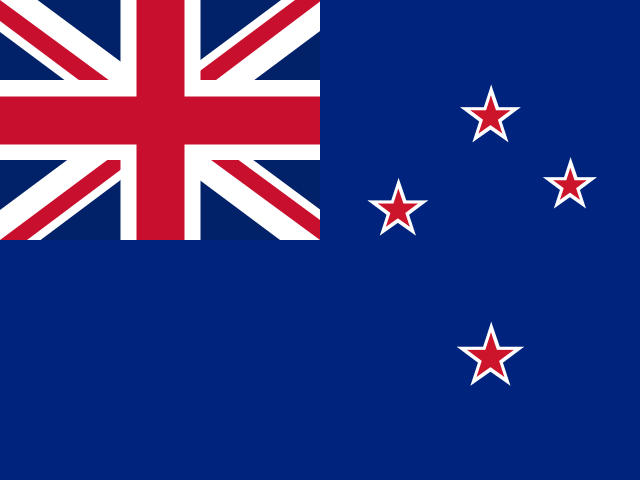 | New ZealandWellington | 5,324,7002025 | 270,467 |
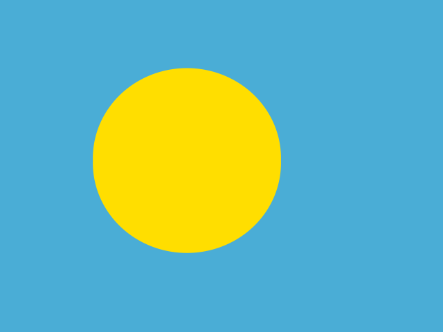 | PalauNgerulmud | 17,6632025 | 459 |
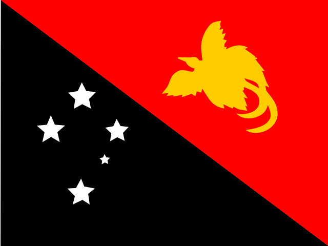 | Papua New GuineaPort Moresby | 10,762,8172025 | 462,840 |
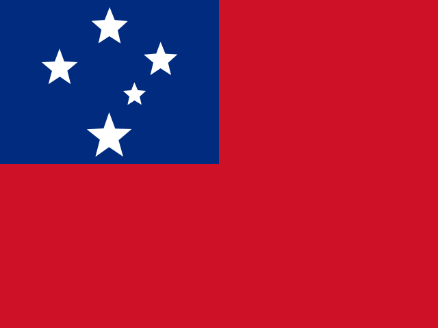 | SamoaApia | 219,3062025 | 2,842 |
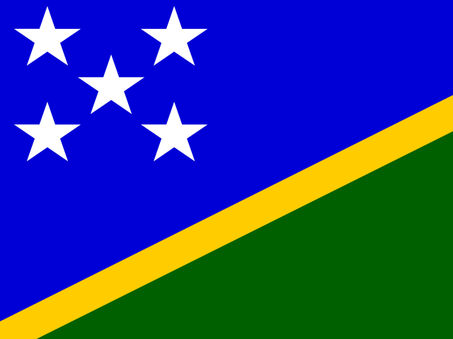 | Solomon IslandsHoniara | 838,6452025 | 28,896 |
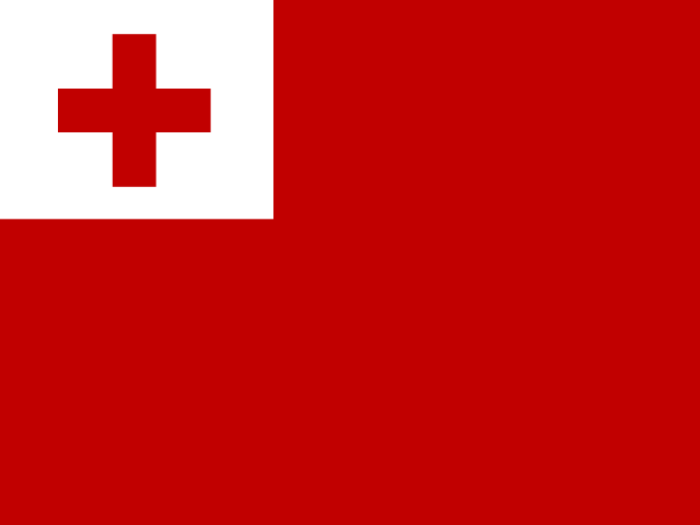 | TongaNuku'alofa | 103,7422025 | 747 |
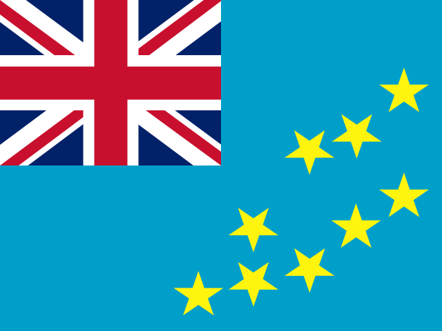 | TuvaluFunafuti | 9,4922025 | 26 |
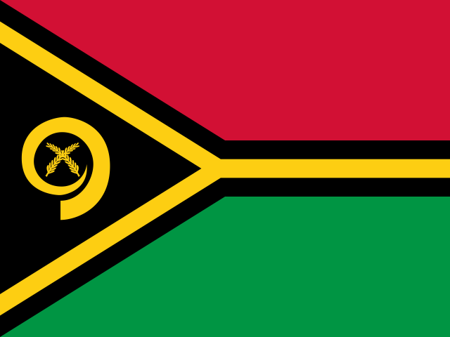 | VanuatuPort Vila | 335,1692025 | 12,189 |